You are here
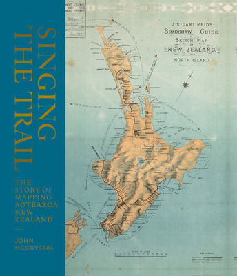
Back to topSinging the Trail: The Story of Mapping Aotearoa New Zealand (Hardcover)
$39.95
Special Order
Description
The very first maps were oral maps made by early Polynesian and Maori settlers which were waypoints, described as "survey pegs of memory," lists of places in songs, chants, karakia, and stories that showed direction. Hundreds of years later, the Dutch Abel Tasman sailed here and made the first attempt at a physical map; he was followed more than 100 years later by Cook, whose map was much more detailed as he circumnavigated the country. Once the detail of the coastline was filled in, more detailed maps of the interior were made by those in search of resources to exploit. A clever look at New Zealand history and also at the intriguing tradition of map making.
About the Author
John McCrystal has been working as a freelance writer since 1996, contributing to most of New Zealand's leading newspapers and magazines. Since publishing his first book in 1999, a biography of businessman Bob Owens, he has written, co-written or ghost-written more than 50 nonfiction titles on a diverse range of subjects. He has also published a handful of short stories, a single radio play, and produced the very popular radio series, Shipwreck Tales.