You are here
Back to topUnderground Cities: Mapping the tunnels, transits and networks underneath our feet (Hardcover)
Email or call for price
Out of Print
Description
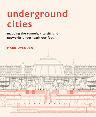
With over 60 per cent of the world’s population living in cities, the networks beneath our feet – which keep the cities above moving – are more important than ever before. Yet we never truly see how these amazing feats of engineering work.
Just how deep do the tunnels go? Where do the sewers, bunkers and postal trains run? And, how many tunnels are there under our streets? Each featured city presents a ‘skyline of the underground’ through specially commissioned cut-away illustrations and unique cartography.
Drawing on geography, cartography and historical oddities, Mark Ovenden explores what our cities look like from the bottom up.
About the Author
Mark Ovenden is a British writer and broadcaster. At the age of seven, he travelled alone ten miles on the London Underground, armed only with a map. He later gained entry to a Graphic Design course by submitting a reworking of the London tube map. His previous books are Transit Maps of the World, Great Railway Maps of the World, Metro Maps of the World, Paris Metro Style and London Underground by Design. He is a Fellow of the Royal Geographic Society.
Praise For…
“A fascinating dive into the monuments beneath our feet”
—John Gapper, Financial Times