You are here
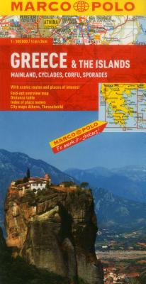
Back to topGreece & the Islands Map: Mainland, Cyclades, Corfu, Sporades (Marco Polo Maps) (Folded)
$11.95
Special Order
Description
Marco Polo maps feature completely up-to-date, digitally generated mapping. The high quality cartography with distance indicators and scale converters aid route planning. The extensive coverage of the maps enable travelers to cross country boundaries with the same map. A fold-out overview map is ideal for route planning and 7 self-adhesive Marco Polo mark-it-stickers can be used to pin-point a destination or route for future reference. Scenic routes and places of interest are highlighted - ideal for touring holidays. Coverage includes the mainland, Cyclades, Corfu and Sporades. City maps of Athens and Thessaloniki. Comprehensive index. The map scale is 1: 300 000.
About the Author
Marco Polo Travel Publishing offers a wide range of high quality cartographic products and travel guides. Marco Polo Pocket Guides are known for their handy, compact format and Insider Tips. Our Travel Handbooks are the first to include infographics and our Spiral Guides feature unique lay-flat spiral binding. Marco Polo Maps are famous for the high quality of cartography in their Country, City and Holiday Maps.